


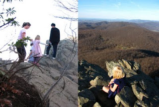
 On November 13, the Rivanna Chapter of Virginia Master Naturalists and friends from the Native Plant Society went on a stroll to learn more about the flora and geology of the Blue Ridge Mountains.
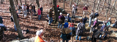
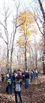
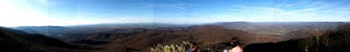
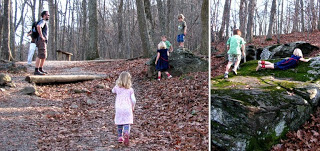
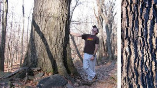
 The crew of nearly forty people explored the Jack Albright Trail (opened 2005) and the old Appalachian Trail near Humpback Rocks. Chip Morgan was the guide, and he was assisted by Russell Fitzgerald who shared the history of the local people from the long association his family has with this area.
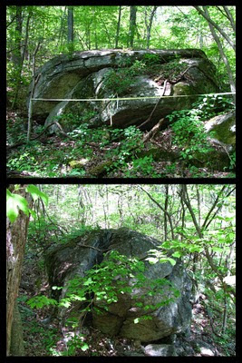
During the hike the large group stopped frequently. The Catoctin formation meta-basalts are well known for the floral diversity they can support. The landscape in this area is also traced with a variety of features that echo human activity. This was a complex landscape, one that was impossible to soak up in a single day!
Below you will find a list of trees, ferns, a geologic description (map showing paleogeography included), and a link to a prior blog story exploring the geology and flora of Humpback rocks.
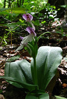
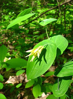
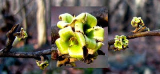
List of trees and shrubs observed:
2. Chestnut Oak, Quercus prinus
3. Black Oak, Quercus velutina
4. White Oak, Quercus alba
5. Pignut Hickory, Carya glabra
6. Mockernut Hickory, Carya alba
7. Yellow-Poplar, Liriodendron tulipifera
8. White Ash, Fraxinus americanus
9. Black Birch, Betula lenta
10. American Linden, Tilia americana
11. Black Locust, Robinia pseudoacacia
12. Red Maple, Acer rubrum
13. Striped Maple, Acer pensylvanicum
14. Norway Maple, Acer platanoides
15. Black Cherry, Prunus serotina
16. Persimmon, Diospyros virginiana
17. Paulownia, Paulownia tomentosa
18. Spicebush, Lindera benzoin
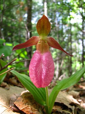
19. Pinxterflower, Rhododendron periclymenoides
20. Alternate-leaf dogwood, Cornus alternifolia
21. Mapleleaf viburnum, Viburnum acerifolium
22. Hop Hornbeam, Ostrya virginiana
23. Sassafras, Sassafras albidum
24. Witch-hazel, Hamamelis virginiana
25. Serviceberry, Amelanchier sp.
26. American Dogwood, Cornus florida
27. Hawthorn, Crataegus sp.
28. Black Haw, Viburnum prunifolium
29. American Chestnut, Castanea dentata
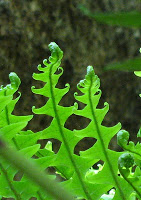
List of Ferns Observed
- Rockcap fern, Polypodium virginianum complex
- Christmas fern, Polystichum acrostichoides
- Marginal wood fern, Dryopteris marginalis
- Ebony spleenwort,Asplenium platyneuron
- Upland brittle bladderfern, Cystopteris tenuis (leaves not present, but habitat pointed out)
Geologic description (adapted from USGS description; source below*):
Rock Type: Metabasalt (Catoctin Formation)
Age: Proterozoic Z-Cambrian
Paleo-geographical map (Notice the character and location of the terrain during the time of these basalt flows!!) http://jan.ucc.nau.edu/~rcb7/namPC550.jpg
Description: grayish-green to dark-yellowish-green, fine-grained, schistose chlorite- and actinolite-bearing metabasalt, commonly associated with epidosite segregations.
Minerals: chlorite + actinolite + albite + epidote + titanite +/- quartz + magnetite. Relict clinopyroxene is common; biotite porphyroblasts occur locally in southeastern outcrop belts.
Geophysical signature: The Catoctin as a whole has a strong positive magnetic signature. However, between Warrenton and Culpeper the lowest part of the Catoctin, which consists of low-titanium metabasalt and low-titanium metabasalt breccia, is non-magnetic, and displays a strong negative anomaly. Metabasalt is by far the most widespread unit comprising 3000 feet or more of section
Primary volcanic features : vesicles and amygdules, sedimentary dikes, flow-top breccia, and columnar joints, relict pillow structures.
*Source: http://tin.er.usgs.gov/geology/state/sgmc-unit.php?unit=VACAZc;0
==================================
Prior posting that may be of interest:
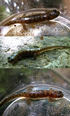
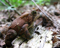 Amphibians
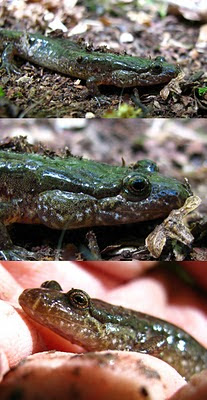


