Natural History, Nature Notes Olivia Jackson Natural History, Nature Notes Olivia Jackson

Moons of the Year

As April’s full moon is overhead, let’s look at the cultural significance of moons and why we have moon phases at all!
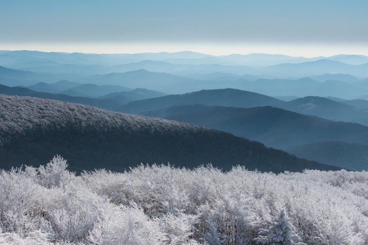
Before colonization and calendars, Indigenous people used celestial bodies to track the flow of time throughout the year. Here in southwest Virginia, Cherokee tribes of the eastern band of the Cherokee Indians called this place home. The phases of the moon were used to show the passage of time over an approximate month. Each “year” there are approximately 12 full moons. Every tribe had different names for their moons. Take a look at the names they gave our moons- they’re based on seasonal phenomena!

January: Windy Moon

February: Hungry Moon

March: Strawberry/First leaves Moon

April: Duck/Bird Moon

May: Planting Moon

June: Sprouting Moon

July: Corn in Tassel Moon

August: End of Fruit Moon

September: Nut Moon

October: Harvest Moon

November: Hunter Moon

December: Snow Moon

To understand the moon and its cycle, we need to understand our solar system! Our Sun contains 99% of the available matter in our solar system. Having that much mass means that it has a large gravitational pull. When the sun first formed, leftover matter was trapped traveling around it. Some of that matter collided repeatedly, growing in size. At a certain point, it got its own gravity. Having gravity smoothed out its shape, and we got the planets! While the planets were forming, scientists hypothesize that a large asteroid slammed into Earth and knocked off a large chunk of material that later consolidated into our moon.

Lunar Orbit vs the Line of the Ecliptic

Because of the Sun’s gravitational pull, all the planets orbit around it in a single plane. Essentially, our solar system is flat! From Earth, all other planets, the Moon, the zodiac constellations, and the Sun, appear to rise in the east at night and set in the west. This is called the line of the ecliptic. The Moon isn’t perfectly matched up with the line of the ecliptic- it’s about 5 degrees off.

Just like the planets rotate on an axis and orbit around the sun, the moon rotates on its axis and orbits around the Earth. One popular moon myth is that there’s a “dark” side of the moon that humans never see. And to be fair, it’s partially true! Because the moon is tidally locked with the Earth, it rotates once with each orbit it completes. In other words, the same side always faces the Earth even if that side isn’t always dark.

It takes the Moon 27.3 earth days to complete one revolution, or orbit, around the Earth. This consistent cycle is what makes it such a good calendar! The cycle can even be broken down into smaller units, based on the eight major moon phases. These phases occur because the Moon cannot generate its own light, it reflects light from the sun. So its position relative to Earth and the Sun determines how much of the Moon’s surface is visible to us. As the moon orbits in a counter-clockwise direction around Earth, it will appear to grow for two weeks, and then appear to shrink for two weeks. These periods are called waxing and waning.

A new moon occurs when the moon is between the earth and the sun. That means that the moon and sun appear in the same place in the sky- during the day! We don’t get a solar eclipse every time this happens because of the tilt in the lunar orbit. As the moon grows, it reaches its first official phase, the waxing crescent. Next comes the waxing first quarter moon. It rises around noon and sets at midnight. First quarter may be accurate based on the moon’s cycle, but it feels wrong to call it that because it looks like half a moon! Lastly, we have the waxing gibbous. And then we’ve got a full moon, which rises in the east at sunset and sets in the west at dawn. It is opposite to the sun. It takes around 13.65 days for the moon to get through half its cycle. After the full moon, the moon shrinks to a waning gibbous, waning third quarter, waning crescent, and finally back to the new moon! The waning third quarter moon rises around midnight and sets at noon (opposite of the first quarter).

Read More

Wildlife Preparing for Winter: Reptiles

Snakes, lizards, and turtles all call the Blue Ridge Mountains home, but these animals are rarely seen in the cold. So, where do reptiles go during winter?
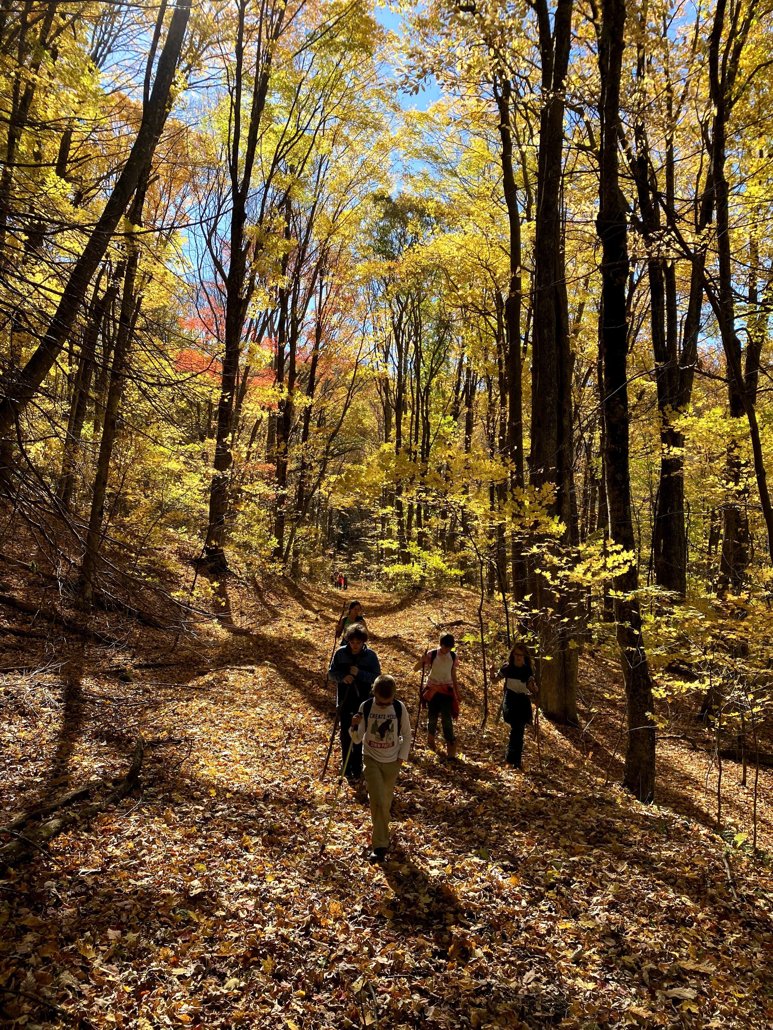
Snakes, lizards, and turtles all call the Blue Ridge Mountains home, but these animals are rarely seen in the cold. So, where do reptiles go during winter?

Reptiles are cold-blooded animals, meaning that their body temperature fluctuates with the temperature of their external environment. Birds and mammals, who are warm-blooded, maintain a consistent internal temperature. As it gets colder outside, reptiles’ body temperature drops. This causes their metabolism to slow, along with other bodily functions like heart rate and respiration. To survive a long, cold winter, most reptiles have adapted a hibernation-like behavior known as brumation.

Brumation is a period of low activity exhibited by reptiles, amphibians, and other cold-blooded animals. Animals in brumation are not fully asleep, rather, they are experiencing low levels of bodily activity that results in a state of torpor. Reptiles in brumation are too cold to digest food, so they will not eat during this time. Instead, most reptiles spend fall filling up on food and finding ideal spots to shelter overwinter, when they will try to conserve as much heat and energy as possible. Different reptiles experience brumation in different ways.

Snakes often seek shelter below the frost line in underground burrows (built and abandoned by mice, rabbits, or other burrowing animals). The spots where snakes overwinter are known as hibernacula. During this time, snakes will stay hydrated by absorbing moisture from the soil through their scaly skin. Commonly, many snakes will shelter together in a single hibernacula for safety and warmth. A single hibernacula can have hundreds of snakes and multiple species. On particularly warm winter days, snakes may expend enough energy to crawl to the surface and sun themselves in order to wake up their internal systems.

Box turtles also seek shelter under the frost line. Using their strong forelimbs, they will dig their own tunnels, sometimes underneath leaf litter or fallen logs for an extra layer of insulation. At the end of their tunnels, they will create a cozy den by pushing soil aside with their shell, creating their own little microclimate. Similarly, painted turtles employ burrowing as a brumation strategy. For the aquatic painted turtle, though, burrowing takes place in the muddy bottoms of ponds and lakes. Painted turtles will bury themselves in over a foot of mud, insulated by both the wet soil and the water above. Oxygen is extremely limited in this environment, but because cold temperatures slow respiration rates for cold-blooded organisms, lack of oxygen isn’t as big of a problem for turtles in winter as it would be for humans. Painted turtles have additional adaptations for low oxygen levels too; they will no longer breathe air through their mouths, instead, they absorb oxygen directly through the thin skin of their cloaca.

As temperatures increase, reptiles will emerge from brumation seeking warmth. Turtles, snakes, and lizards can be found basking in sunny areas during spring while temperatures are still chilly, trying to warm up enough to seek food.

Read More

Pre-Order Your Fall Naturalist Rally T-Shirt!

Our Mount Rogers Fall Naturalist Rally is a little over a month away and we could not be more excited! We have opened pre-orders for the limited edition Fall Naturalist Rally t-shirt.
The Mount Rogers Fall Naturalist Rally is a little over a month away and we could not be more excited! Starting this week, we have opened pre-orders for the limited edition Fall Naturalist Rally t-shirt. Illustrated on the Rally shirt are the squirrels the Blue Ridge region. What signifies fall better than squirrels! They are the perfect fall mascot due to their abundance and increase in activity. This increased activity is due to their need to store food for the winter. The five native squirrel species are the Eastern Gray Squirrel, the Red Squirrel, the Fox Squirrel, the Northern Flying Squirrel, and the Southern Flying Squirrel. 

If you’re interested in pre-ordering one of our Limited Edition Mount Rogers Fall Naturalist T-Shirts, click on the link and check out our Mount Rogers Fall Naturalist Rally page for more rally information to come!

Eastern Gray squirrels (Sciurus carolinensis carolinensis) are one of the most common squirrels in Virginia. They can be identified by their gray coat, white belly, and narrow tails. During this time of year, these squirrels spend a great deal of time hiding food in a variety of places so that they do not need to go into a full hibernation. Eastern Gray squirrels will be able to feast on their hidden sustenance all winter long since they tend to hide more food than necessary for survival. Due to this excess of food, these squirrels play a vital role in seed dispersal. 

Red squirrels (Tamiasciurus hudsonicus abieticola) are another common species in Virginia. These squirrels can be easily distinguished from the Gray and fox squirrel due to their reddish coat and small size. While other squirrels tend to favor tree nuts, the American Red squirrels tend to be more inclined to devour seeds and fungi. They are also known to steal from bird feeders since most are designed to prevent larger squirrels from invading the feed supply. 

Fox squirrels (Sciurus niger niger) are the largest of the squirrel species in Virginia. They can be identified by their large size, brown/gray back fur, and orange belly. These squirrels follow the same food storage protocol that Gray squirrels follow, meaning that they also store an abundance of nuts in various locations in order to feed themselves throughout winter. These squirrels tend to be more social in comparison to other native squirrels and are likely to be found in neighborhoods or parks rather than trees.

Virginia Northern Flying squirrels (Glaucomys sabrinus fuscus) are actually endangered, so their abundance in the area has declined. These squirrels can be identified by their brown coat with a gray belly  and membrane-connected hind and fore legs. This membrane connection is what allows these squirrels to glide through the air from tree to tree. Northern flying squirrels can be distinguished from the southern flying squirrels by their vast difference in size. The northern flying squirrel is much larger in comparison to the southern flying squirrel. While these squirrels also store seeds for themselves to eat during the cold months, they also are able to feed on lichens and fungi, which makes them less reliant on storing seeds. 

Southern Flying squirrels (Glaucomys volans volans) are slightly more abundant than the northern flying squirrels, but still prevalent in Virginia. These squirrels also have a grayish-brown coat along with a brown belly and membrane-connected hind and fore limbs. The Southern Flying squirrel can be distinguished from its fellow Virginia native flying squirrel, the northern flying squirrel, by its smaller size. These squirrels tend to feed on nuts and store these in various locations. 

Read More

Residential Overnight Programs at BRDC

Blue Ridge Discovery Center is thrilled to welcome Carroll County Middle School next week for our residential overnight program with their rising 6th graders!

Blue Ridge Discovery Center is thrilled to welcome Carroll County Middle School next week for the start of a three weekend residential overnight program with 150 of their rising 6th graders. With the renovation of schoolhouse, BRDC will host residential programs throughout all four seasons.

The 6th graders will stay overnight at the Center for an exciting immersive outdoor experience where they will discover the diversity of our native ecosystems. Students will learn about the flora and fauna that call this region home, how it changes over time, and it’s cultural history. Along with exploring the flora and fauna of the Blue Ridge on our campus, the students will participate in journaling, conduct experiments, and work together to problem solve. We are so excited to have these students on our campus, and foster the next generation of stewards! If you have a group interested in residential immersive outdoor education such as this, please email info@blueridgediscoverycenter.org for more information!


Read More
Natural History, Event Recap Lisa Benish Natural History, Event Recap Lisa Benish

Get Outside along the Henley Hollow Trail

Join BRDC guides on a short hike along Henley Hollow Trail.

Blue Ridge Discovery Center’s Get Outside Program connects families to nature through hands-on, active, outdoor natural history activities. This program includes observational hiking, an outdoor activity, and natural history education. Participants will get outside with their families to explore, discover, and share their experiences during a short hike along Henley Hollow Trail on Hwy 21 towards Speedwell.

This Saturday’s (February 27th), hike begins at 2:00 pm. Activities include a scavenger hunt and the chance to earn a BRDC patch. This program is FREE, but registration is required. (Includes all instruction, materials, and supplies.) Space is limited. Participants are responsible for face masks and reusable water bottles. Email lisa@blueridgediscoverycenter.org to be notified of future event dates or questions.

Supported by Twin County Community Foundation grant.

Read More
Natural History Lisa Benish Natural History Lisa Benish

Conglomerates and Dropstones

The Lower Mount Rogers Formation is an excellent introduction to rock types. It is diverse with both igneous and sedimentary rocks. The stretch of road between Troutdale and Konnarock, VA (Rt. 603) is a great way to see these formations and rock types, especially during winter months when the vegetation has died down (including poison ivy) and the rock is better exposed.

The lowest part of the formation is called conglomerate. Conglomerate is a clastic sedimentary rock made up of rounded clasts (fragments of rock broken off other rocks by physical weathering). The spaces between the clasts are generally filled with sand and clay particles and bound together by a cement that is usually composed of calcite or quartz. A fine example of this can be found along Fairwood Rd (Rt. 603) in Grayson County, Troutdale, VA. Different types of rocks found in the Lower Mount Rogers Formation are represented in the cobbles in the exposed outcrops along the road. The rock types include rhyolite, granite, milky quartz, sandstone, and greenstone. This formation dates approximately 760 million years old.

Conglomerate

Conglomerate

Gneiss is a foliated metamorphic rock identified by bands of varying mineral composition. It is a high-grade metamorphic rock in which mineral grains recrystallized under intense heat and pressure (thus metamorphic rock). This alteration increased the size of the mineral grains and segregated them into bands. Gneiss can form in several different ways. Most commonly, it begins with shale, a sedimentary rock transforming into slate, then phyllite, then schist, and finally into gneiss.

Cranberry Gneiss is a billion years old; the oldest rock of the Appalachian Mountains. In most of the Mount Rogers area, it is predominantly a metamorphosed granite, giving it a metamorphic layering that is representative of the building of the Appalachians during the Paleozoic. The Mount Rogers area is remarkable in that most of the rocks here have escaped the effects of the Paleozoic metamorphism, so the cranberry pieces preserve much of their original texture. If you see feldspar in a sedimentary rock like this conglomerate, it usually means that the source of the sediment is not far from its site of deposition. This is because the feldspar breaks down quickly once exposed to air and moved in water.

The Middle to Upper part of the Konnarock Formation rests above the Mount Rogers Formation and is overlain by the Unicoi Formation. Its age is unknown, but due to the placement with other formations, it is estimated to be between 570 and 760 million years old. Normally the Blue Ridge is extensively metamorphosed, destroying almost all of the sedimentary layering, but a well-preserved outcrop is visible along Rt. 603. This outcrop is indicative of a historic lake and grants us a rare window into the sedimentary history of the Blue Ridge.

Sedimentary layering

Sedimentary layering

The maroon bands are made of mud. In order to be so fine, the water must have been very calm suggesting a lake. The grayish-green bands are composed of more quartz and indicate a current that is slowing down. This is consistent with the idea of a lake with streams feeding sediment into the lake.

Dropstones indicate slow, still water such as a lake

Dropstones indicate slow, still water such as a lake

As you continue along Rt. 603 (now Laurel Valley Rd) just before the stop sign at Rt. 600 (Whitetop Rd), the Konnarock Formation there is similar to the last location but with large rounded stones that are isolated, not a part of a turbidity current like the first location. It is excellent evidence of glaciers in Virginia (not the recent ice age of the Pleistocene). Glaciers would have come down from the highlands and broken off into icebergs. At some point, the icebergs melted and the stones dropped down to the lake bottom. Evidence suggested that they were not transported by water currents but “dropped” in vertically through the water column. These are called dropstones. Dropstones are isolated fragments of rock found within finer-grained water-deposited sedimentary rocks. They range in size from small pebbles to boulders. Some of the dropstones appear to be pieces of Cranberry Gneiss!

If you would like to learn more about the geology of the Mount Rogers area, Radford University has a great online field trip accessible to the public. It is dated, but fortunately, the rocks don’t move. Check it out to learn more about the geologic significance of the Blue Ridge.


Read More