Event Recap Lisa Benish Event Recap Lisa Benish

The Rain Did NOT Dampen the Weekend

The 45th Annual Mount Rogers Naturalist Rally, held May 10th-12th was a big success!

The 45th Annual Mount Rogers Naturalist Rally, held May 10th-12th this year, was a BIG success. The weather always threatens to ruin the weekend and as usual, it was set to be extremely rainy. Alas, the rain came but not in the amounts nor the times to disrupt the Naturalists gathered together for this fantastic event that celebrates the flora and fauna of the Blue Ridge and the Mount Rogers National Recreation Area.

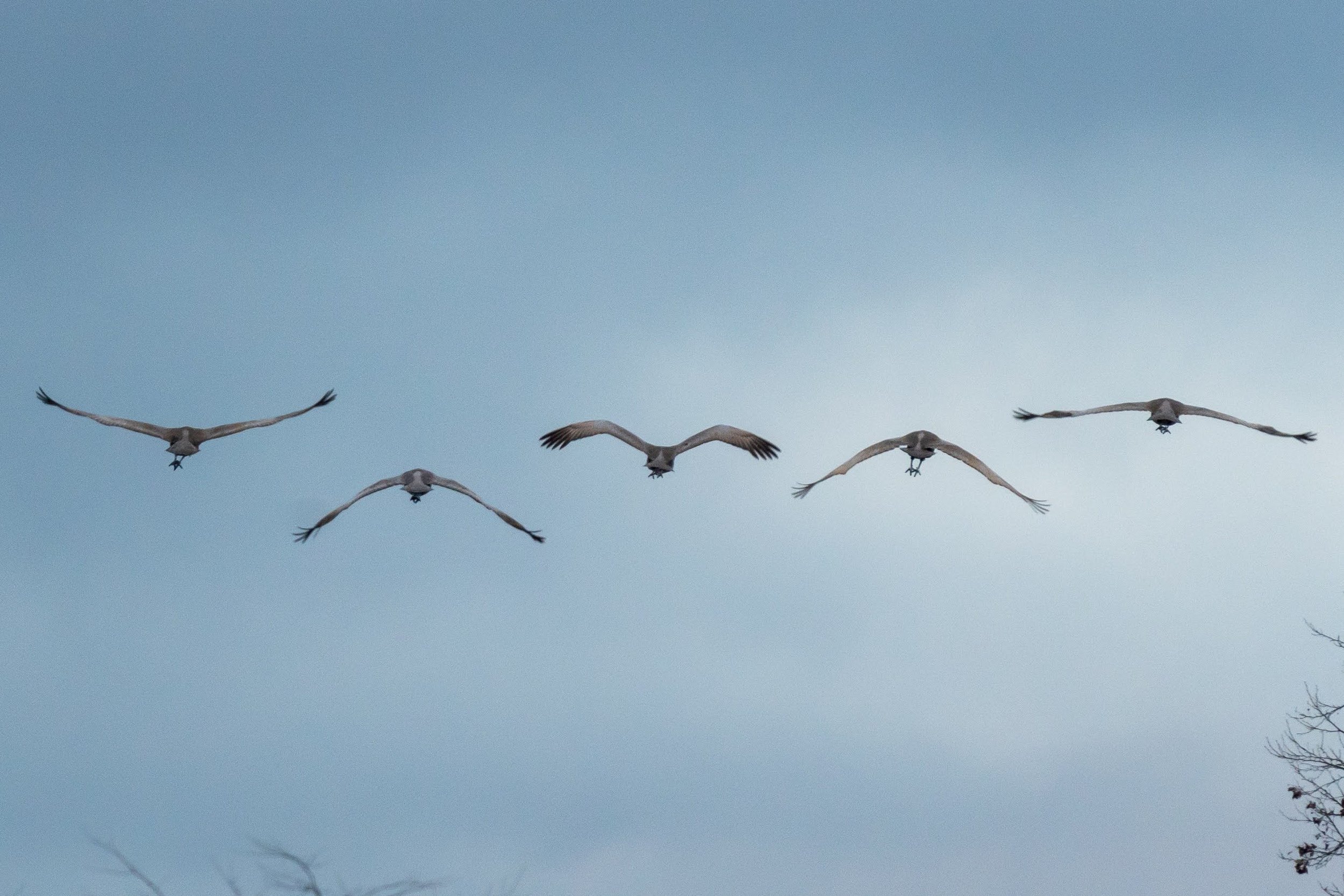
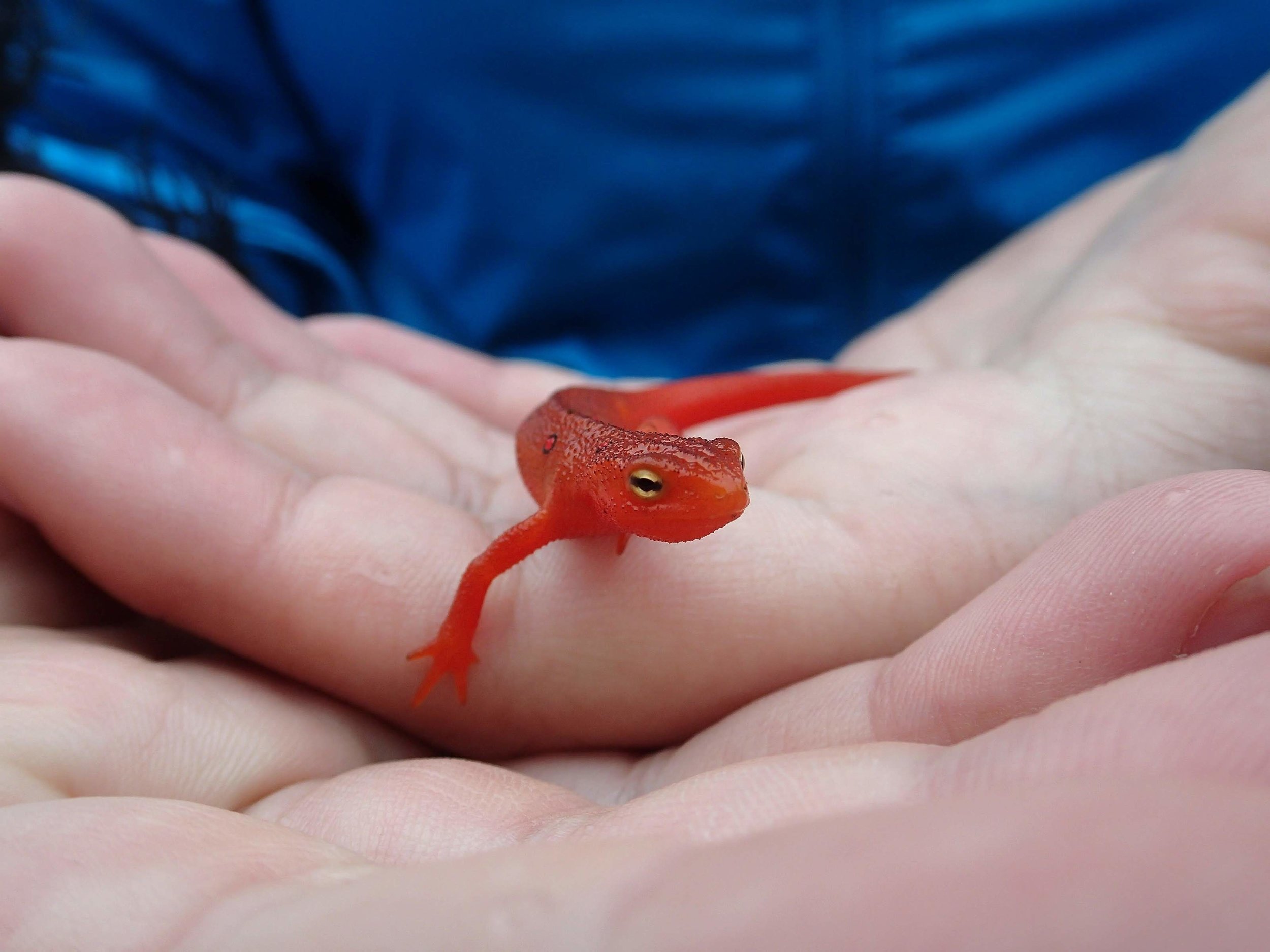
Twenty-nine guided trips went out Saturday and Sunday, all full of enthusiastic attendees. Many focused on birds, wildflowers, salamanders, insects, stream ecology, fly fishing, and edible and medicinal plants while others pursued art and science. Lets not forget the awesome kids programs about salamanders and rocks!

It takes a lot of individuals to make this come together. We couldn’t do it without the love and passion our guides have and share for their fields of expertise. Nor could it happen without all the volunteers and their loving hands providing sustenance for the many participants. It is a pleasure to bring like-minded souls together to Explore, Discover and Share the wonders of the Blue Ridge.

0U1A1367.jpg
Read More
Science Projects BRDC, Admin Science Projects BRDC, Admin

Students Study Whitetail Deer impact on forest understory

Through the cooperation of Matthews State Forest and forester Zack Olinger, and along with Alan Webb (Ag teacher), and Rachelle Rasco (stem lab manager) from Carroll County High School, BRDC initiated a research project at one of the two deer exclosure sites on MSF. This project is expected to encompass not only this fall semester, but also a spring 2016 return visit or two for further comparisons.

Through the cooperation of Matthews State Forest and forester Zack Olinger, and along with Alan Webb (Ag teacher), and Rachelle Rasco (stem lab manager) from Carroll County High School, BRDC initiated a research project at one of the two deer exclosure sites on MSF. This project is expected to encompass not only this fall semester, but also a spring 2016 return visit or two for further comparisons.

On August 21st, Evan Worrell and Scott Jackson-Ricketts (from Blue Ridge Discovery Center) gave a brief introductory explanation to the students about the project and what to expect. We handed out a research model, and encouraged them to familiarize themselves with the steps involved.

On September 9th, the 13 students arrived on a bus and joined Evan and Scott for a day of plant investigations. We also had on hand Dr. William Dunson whose experience in plant identification and deer plot studies proved to be of great help.

The practice of establishing deer exclosures dates back to at least the 1930s, and has been used to study the long term effects of deer browsing on forests. The basic approach is to choose a site that includes room for both the exclosure and control plots. Size of the plots is determined by proper and available space. 25% direct sunlight is required for both plots. The exclosures are fenced off from deer but are accessible to the research teams.

Our research goals are to follow guidelines of scientific inquiry which include building hypotheses based on early discussions about forest habitat and successional growth. We separated the students into four teams and divided the 32 square foot plots into four sections, assigning one group to one section each both inside and outside the exclosures. 

The research process involves adhering to an agreed upon series of protocols. Mapping out both plots into grids for detailed studies is essential. Data collection and documentation are the driving components. Type of tree cover, living or dead, descriptions of overstory (canopy) and understory growth including stumps, measurements of trunk diameter at approximately three feet from ground level, as well as total height of trees have been noted. Types of vegetation are broken down into these categories: trees, woody shrubs, herbaceous, graminae (grasses) and miscellaneous. Cover percentage of each vascular plant species was determined by means of a sampling frame, and numbered on the grid. 

On our first field day, we spent some time going over the layout, measuring tree diameters and heights, describing the canopy and familiarizing ourselves with our field guide library. Then we went about attempting to identify all of the plants, and counting species populations. It was quickly noted that inside the exclosure, more plants were thriving compared to the control plot that was fully available to browsing deer.

Zach closed the day’s activities with a summation of Matthews State Forest’s management goals, processes and tied that to the issues facing foresters through the white tail deer’s expanding impact on tree seedling survival…especially our native oaks. 

For our second field trip, held on October 21st, (more than a month later), we concentrated on improving our ID skills as well as making a greater effort on securing an accurate population count. Evan directed the students to rotate, giving each quadrant a much more thorough investigation. This intentional redundancy proved to be a most valuable tool and led to a higher degree of accuracy. We did find differences between our two investigations, and surmised that some of the smaller plants might not have been visible under the leaf litter until fall winds blew the leaves away.

Through the encouragement of Dr. Dunson, (now in Florida), Evan employed the Simpson Index for cataloguing and assimilating our data…which were entered into a spread sheet from which graphic analysis became more available and easier to understand. The Simpson Index takes into account total species diversity. Evan and Scott returned to the high school on November 17th to share the results of the students’ hard work, and to explain our accumulative findings. There were some surprises.


Read More
Devin Floyd Devin Floyd

Exploring Blue Ridge Flora and Geology

On November 13,

the Rivanna Chapter of Virginia Master Naturalists and friends from the Native Plant Society went on a stroll to learn more about the flora and geology of the Blue Ridge Mountains.

The crew of nearly forty people explored the Jack Albright Trail (opened 2005) and the old Appalachian Trail near HumpbackRocks. Chip Morgan was the guide, and he was assisted by Russell Fitzgerald who shared the history of the local people from the long association his family has with this area.

During the hike the large group stopped frequently. The Catoctin formation meta-basalts are well known for the floral diversity they can support. The landscape in this area is also traced with a variety of features that echo human activity. This was a complex landscape, one that was impossible to soak up in a single day!

Below you will find a list of trees, ferns, a geologic description (map showing paleogeography included), and a link to a prior blog story exploring the geology and flora of Humpback rocks.

List of trees and shrubs observed:

1.Northern Red Oak, Quercus rubra

2.Chestnut Oak, Quercus prinus

3.Black Oak, Quercus velutina

4.White Oak, Quercus alba

5.Pignut Hickory, Carya glabra

6.Mockernut Hickory, Carya alba

7.Yellow-Poplar, Liriodendron tulipifera

8.White Ash, Fraxinus americanus

9.Black Birch, Betula lenta

10.American Linden, Tilia americana

11.Black Locust, Robinia pseudoacacia

12.Red Maple, Acer rubrum

13.Striped Maple, Acer pensylvanicum

14.Norway Maple, Acer platanoides

15.Black Cherry, Prunus serotina

16.Persimmon, Diospyros virginiana

17.Paulownia, Paulowniatomentosa

18.Spicebush, Lindera benzoin

19.Pinxterflower, Rhododendron periclymenoides

20.Alternate-leaf dogwood, Cornus alternifolia

21.Mapleleaf viburnum, Viburnum acerifolium

22.Hop Hornbeam, Ostrya virginiana

23.Sassafras, Sassafras albidum

24.Witch-hazel, Hamamelis virginiana

25.Serviceberry, Amelanchier sp.

26.American Dogwood, Cornus florida

27.Hawthorn, Crataegus sp.

28.Black Haw, Viburnum prunifolium

29.American Chestnut, Castanea dentata

List of Ferns Observed

  1. Rockcap fern, Polypodium virginianum complex

  2. Christmas fern, Polystichum acrostichoides

  3. Marginal wood fern, Dryopteris marginalis

  4. Ebony spleenwort,Asplenium platyneuron

  5. Upland brittle bladderfern, Cystopteris tenuis(leaves not present, but habitat pointed out)

Geologic description(adapted from USGS description; source below*):

Rock Type: Metabasalt (Catoctin Formation)

Age:Proterozoic Z-Cambrian

Paleo-geographical map (Notice the character and location of the terrain during the time of these basalt flows!!) http://jan.ucc.nau.edu/~rcb7/namPC550.jpg

Description: grayish-green to dark-yellowish-green, fine-grained, schistose chlorite- and actinolite-bearing metabasalt, commonly associated with epidosite segregations.

Minerals: chlorite + actinolite + albite + epidote + titanite +/- quartz + magnetite. Relict clinopyroxene is common; biotite porphyroblasts occur locally in southeastern outcrop belts.

Geophysical signature: The Catoctin as a whole has a strong positive magnetic signature. However, between Warrenton and Culpeper the lowest part of the Catoctin, which consists of low-titanium metabasalt and low-titanium metabasalt breccia, is non-magnetic, and displays a strong negative anomaly. Metabasaltis by far the most widespread unit comprising 3000 feet or more of section

Primary volcanic features : vesicles and amygdules, sedimentary dikes, flow-top breccia, and columnar joints, relict pillow structures.

*Source: http://tin.er.usgs.gov/geology/state/sgmc-unit.php?unit=VACAZc;0

==================================

Prior posting that may be of interest:

Lava Reaching Skyward

Read More